Railway at Donibristle
Introduction
The photograph on this page of Railway at Donibristle by M J Richardson as part of the Geograph project.
The Geograph project started in 2005 with the aim of publishing, organising and preserving representative images for every square kilometre of Great Britain, Ireland and the Isle of Man.

There are currently over 7.5m images from over 14,400 individuals and you can help contribute to the project by visiting https://www.geograph.org.uk
Railway at Donibristle
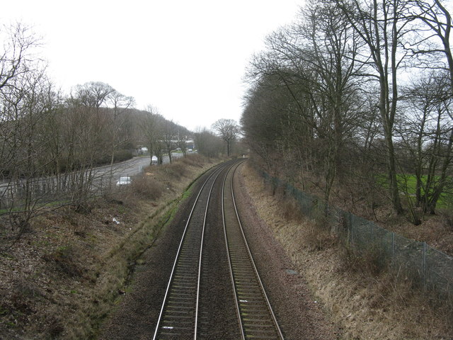
Image: © M J Richardson Taken: 15 Mar 2017
Part of the Fife Circle. Looking west towards Dalgety Bay Station. The road running alongside is the A921.
Images are licensed for reuse under creativecommons.org/licenses/by-sa/2.0
Image Location
Latitude
56.04298
Longitude
-3.360689