Entrance to building site, plot 1, Hurricane Way
Introduction
The photograph on this page of Entrance to building site, plot 1, Hurricane Way by John Baker as part of the Geograph project.
The Geograph project started in 2005 with the aim of publishing, organising and preserving representative images for every square kilometre of Great Britain, Ireland and the Isle of Man.

There are currently over 7.5m images from over 14,400 individuals and you can help contribute to the project by visiting https://www.geograph.org.uk
Entrance to building site, plot 1, Hurricane Way
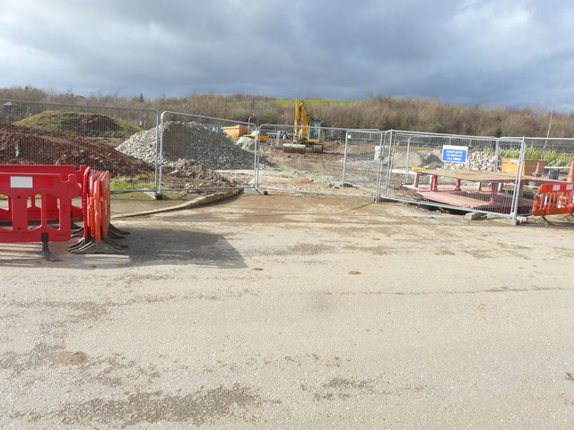
Image: © John Baker Taken: 5 Mar 2017
Planning permission has been approved, with conditions, by Folkestone and Hythe District Council under application number Y15/1035/SH for “mixed use development comprising 2366sqm of commercial space (Class B1/B8) in five blocks, together with erection of 47 dwellings, with associated car parking, external works and landscaping (alternative to planning permission Y10/0738/SH)”.
Images are licensed for reuse under creativecommons.org/licenses/by-sa/2.0
Image Location
Latitude
51.110979
Longitude
1.159774