Glen Burn - Fairlie
Introduction
The photograph on this page of Glen Burn - Fairlie by Raibeart MacAoidh as part of the Geograph project.
The Geograph project started in 2005 with the aim of publishing, organising and preserving representative images for every square kilometre of Great Britain, Ireland and the Isle of Man.

There are currently over 7.5m images from over 14,400 individuals and you can help contribute to the project by visiting https://www.geograph.org.uk
Glen Burn - Fairlie
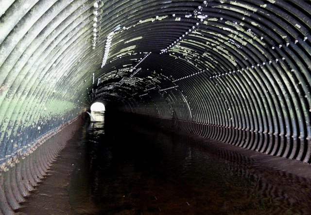
Image: © Raibeart MacAoidh Taken: 6 Mar 2017
The Glen Burn used to enter the sea at Fence Bay, but it was re-routed when the Hunterston Ore Terminal was being created. From Fencefoot it now flows through culverts under and alongside the A78. It now enters the sea at Southannan Lodge.
Images are licensed for reuse under creativecommons.org/licenses/by-sa/2.0
Image Location
Latitude
55.746718
Longitude
-4.857507