Ridge Road at the junction of The Branston Way
Introduction
The photograph on this page of Ridge Road at the junction of The Branston Way by David Howard as part of the Geograph project.
The Geograph project started in 2005 with the aim of publishing, organising and preserving representative images for every square kilometre of Great Britain, Ireland and the Isle of Man.

There are currently over 7.5m images from over 14,400 individuals and you can help contribute to the project by visiting https://www.geograph.org.uk
Ridge Road at the junction of The Branston Way
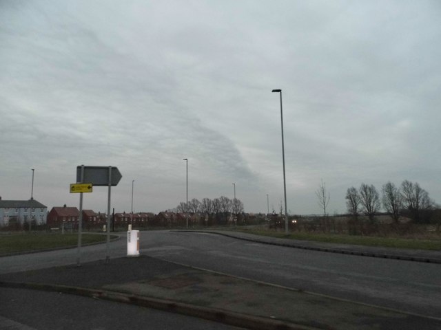
Image: © David Howard Taken: 12 Mar 2017
The houses have gone up in the last couple of years, encroaching into the green belt.
Images are licensed for reuse under creativecommons.org/licenses/by-sa/2.0
Image Location
Latitude
52.110859
Longitude
-0.519836