Path to Milton Brae
Introduction
The photograph on this page of Path to Milton Brae by Lairich Rig as part of the Geograph project.
The Geograph project started in 2005 with the aim of publishing, organising and preserving representative images for every square kilometre of Great Britain, Ireland and the Isle of Man.

There are currently over 7.5m images from over 14,400 individuals and you can help contribute to the project by visiting https://www.geograph.org.uk
Path to Milton Brae
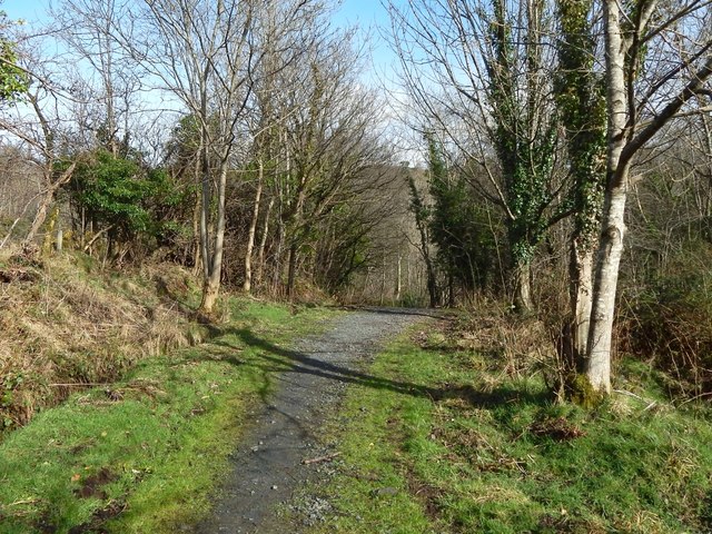
Image: © Lairich Rig Taken: 1 Mar 2017
The path, part of a route called the Crags Circular Path, is a continuation of the one shown heading off to the left in Image In the area shown in the present picture, the path has left the houses behind. There is a field to the left, behind the trees. To the right (east) of the path, the ground, greatly overgrown, slopes down to the course of the Milton Burn. The Milton Printworks used to stand on the other side of the burn. For a view in the opposite direction from a point about 100 metres ahead, see Image
Images are licensed for reuse under creativecommons.org/licenses/by-sa/2.0
Image Location
Latitude
55.938577
Longitude
-4.522828