Bungalows, Garlick Street, Rastrick
Introduction
The photograph on this page of Bungalows, Garlick Street, Rastrick by Humphrey Bolton as part of the Geograph project.
The Geograph project started in 2005 with the aim of publishing, organising and preserving representative images for every square kilometre of Great Britain, Ireland and the Isle of Man.

There are currently over 7.5m images from over 14,400 individuals and you can help contribute to the project by visiting https://www.geograph.org.uk
Bungalows, Garlick Street, Rastrick
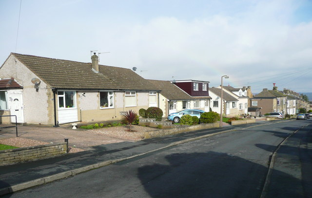
Image: © Humphrey Bolton Taken: 28 Feb 2017
Garlick Street was extended in the mid-20C onto fields called Croft, Little Croft and Long Croft on the 1824 township map.
Images are licensed for reuse under creativecommons.org/licenses/by-sa/2.0
Image Location
Latitude
53.683938
Longitude
-1.798288