St John's Brook heads south from Primrose Hill, Wedgnock, north Warwick
Introduction
The photograph on this page of St John's Brook heads south from Primrose Hill, Wedgnock, north Warwick by Robin Stott as part of the Geograph project.
The Geograph project started in 2005 with the aim of publishing, organising and preserving representative images for every square kilometre of Great Britain, Ireland and the Isle of Man.

There are currently over 7.5m images from over 14,400 individuals and you can help contribute to the project by visiting https://www.geograph.org.uk
St John's Brook heads south from Primrose Hill, Wedgnock, north Warwick
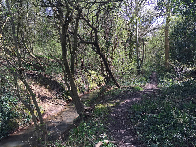
Image: © Robin Stott Taken: 17 Apr 2016
Primrose Hill is behind the camera Image The scene continues in this fashion for some 400 metres till it reaches Cape Top Lock on the Grand Union Canal Image
Images are licensed for reuse under creativecommons.org/licenses/by-sa/2.0
Image Location
Latitude
52.295582
Longitude
-1.597312