Proposed alterations to 65, The Strand
Introduction
The photograph on this page of Proposed alterations to 65, The Strand by John Baker as part of the Geograph project.
The Geograph project started in 2005 with the aim of publishing, organising and preserving representative images for every square kilometre of Great Britain, Ireland and the Isle of Man.

There are currently over 7.5m images from over 14,400 individuals and you can help contribute to the project by visiting https://www.geograph.org.uk
Proposed alterations to 65, The Strand
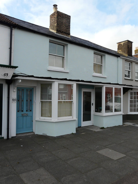
Image: © John Baker Taken: 26 Feb 2017
Planning permission has been granted by Dover District Council under application number DOV/17/00122 as “change of use of ground floor to residential (C3)”.
Images are licensed for reuse under creativecommons.org/licenses/by-sa/2.0
Image Location
Latitude
51.215981
Longitude
1.402279