Up Lyme Road, Axminster
Introduction
The photograph on this page of Up Lyme Road, Axminster by Jaggery as part of the Geograph project.
The Geograph project started in 2005 with the aim of publishing, organising and preserving representative images for every square kilometre of Great Britain, Ireland and the Isle of Man.

There are currently over 7.5m images from over 14,400 individuals and you can help contribute to the project by visiting https://www.geograph.org.uk
Up Lyme Road, Axminster
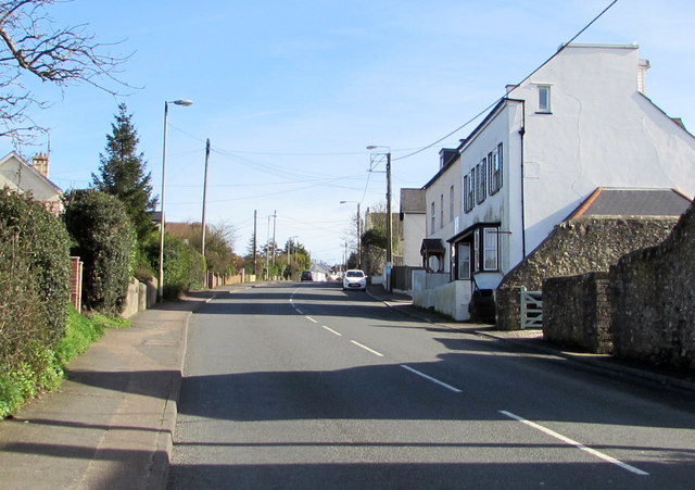
Image: © Jaggery Taken: 9 Mar 2017
Part of the long southeastward ascent of the B3261 Lyme Road away from Axminster town centre. The B3261 Lyme Road leads to the A35 towards Lyme Regis.
Images are licensed for reuse under creativecommons.org/licenses/by-sa/2.0
Image Location
Latitude
50.77927
Longitude
-2.988837