Modern housing, St Mark's Road
Introduction
The photograph on this page of Modern housing, St Mark's Road by Alan Murray-Rust as part of the Geograph project.
The Geograph project started in 2005 with the aim of publishing, organising and preserving representative images for every square kilometre of Great Britain, Ireland and the Isle of Man.

There are currently over 7.5m images from over 14,400 individuals and you can help contribute to the project by visiting https://www.geograph.org.uk
Modern housing, St Mark's Road
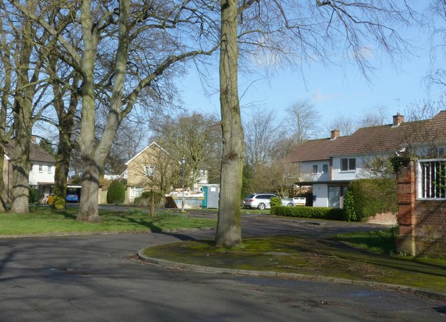
Image: © Alan Murray-Rust Taken: 4 Mar 2017
A mid 20th century development of largish detached houses, filling an undeveloped plot. There is a bench mark http://www.geograph.org.uk/photo/5302320 on the brick pier at the right hand edge.
Images are licensed for reuse under creativecommons.org/licenses/by-sa/2.0
Image Location
Latitude
52.294953
Longitude
-1.547758