Poppy Field
Introduction
The photograph on this page of Poppy Field by Hugh McKechnie as part of the Geograph project.
The Geograph project started in 2005 with the aim of publishing, organising and preserving representative images for every square kilometre of Great Britain, Ireland and the Isle of Man.

There are currently over 7.5m images from over 14,400 individuals and you can help contribute to the project by visiting https://www.geograph.org.uk
Poppy Field
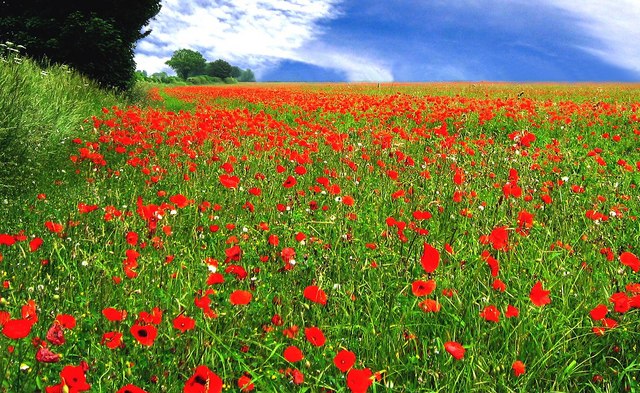
Image: © Hugh McKechnie Taken: 10 Jun 2007
An explosion of colour in a field near Stonar School that had been left fallow for some time.
Images are licensed for reuse under creativecommons.org/licenses/by-sa/2.0
Image Location
Latitude
51.388328
Longitude
-2.22414