Wallisdown: daffodils alongside Boundary Road
Introduction
The photograph on this page of Wallisdown: daffodils alongside Boundary Road by Chris Downer as part of the Geograph project.
The Geograph project started in 2005 with the aim of publishing, organising and preserving representative images for every square kilometre of Great Britain, Ireland and the Isle of Man.

There are currently over 7.5m images from over 14,400 individuals and you can help contribute to the project by visiting https://www.geograph.org.uk
Wallisdown: daffodils alongside Boundary Road
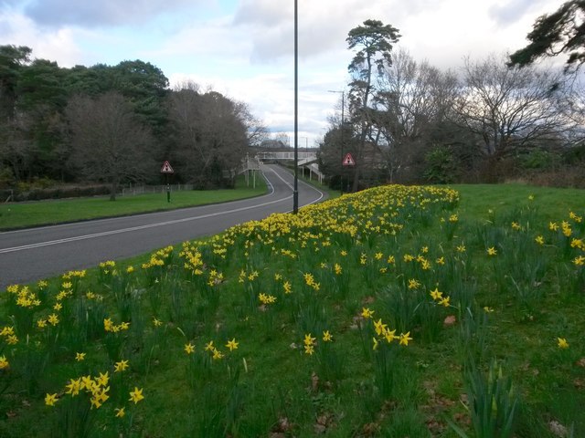
Image: © Chris Downer Taken: 4 Mar 2017
Looking along Boundary Road from near its southern end at a rare traffic-free moment. The patch of daffodils on this eastern bank is on display every spring.
Images are licensed for reuse under creativecommons.org/licenses/by-sa/2.0
Image Location


Leaflet Map data © OpenStreetMap
Latitude
50.742946
Longitude
-1.890394