Maes-yr-haf Road, North Cornelly
Introduction
The photograph on this page of Maes-yr-haf Road, North Cornelly by Jaggery as part of the Geograph project.
The Geograph project started in 2005 with the aim of publishing, organising and preserving representative images for every square kilometre of Great Britain, Ireland and the Isle of Man.

There are currently over 7.5m images from over 14,400 individuals and you can help contribute to the project by visiting https://www.geograph.org.uk
Maes-yr-haf Road, North Cornelly
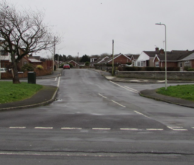
Image: © Jaggery Taken: 1 Mar 2017
Maes-yr-haf Road leads to an area of houses on the north side of the M4 motorway near junction 37. The left turn behind the tree is into Heol Fawr. The right turn behind the lamppost is into Heol Neuadd.
Images are licensed for reuse under creativecommons.org/licenses/by-sa/2.0
Image Location
Latitude
51.518924
Longitude
-3.699485