Barns at Pound Farm
Introduction
The photograph on this page of Barns at Pound Farm by Robin Webster as part of the Geograph project.
The Geograph project started in 2005 with the aim of publishing, organising and preserving representative images for every square kilometre of Great Britain, Ireland and the Isle of Man.

There are currently over 7.5m images from over 14,400 individuals and you can help contribute to the project by visiting https://www.geograph.org.uk
Barns at Pound Farm
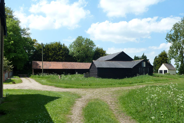
Image: © Robin Webster Taken: 27 May 2013
The low tiled building, a cartlodge, and the tall barn are grade II listed buildings, around 1800. The near lower black extensions are presumably not listed, as neither described nor mentioned in the listing.
Images are licensed for reuse under creativecommons.org/licenses/by-sa/2.0
Image Location
Latitude
51.882386
Longitude
0.496444