Ladybridge Primary School, Cheadle Hulme, from the air
Introduction
The photograph on this page of Ladybridge Primary School, Cheadle Hulme, from the air by Mike Pennington as part of the Geograph project.
The Geograph project started in 2005 with the aim of publishing, organising and preserving representative images for every square kilometre of Great Britain, Ireland and the Isle of Man.

There are currently over 7.5m images from over 14,400 individuals and you can help contribute to the project by visiting https://www.geograph.org.uk
Ladybridge Primary School, Cheadle Hulme, from the air
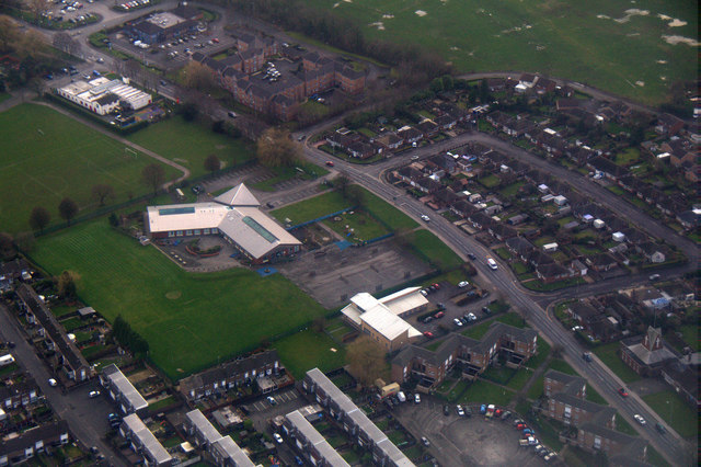
Image: © Mike Pennington Taken: 24 Feb 2017
Taken from a plane on the approach to the Manchester Airport.
Images are licensed for reuse under creativecommons.org/licenses/by-sa/2.0
Image Location
Latitude
53.388871
Longitude
-2.18821