Down Coronation Street
Introduction
The photograph on this page of Down Coronation Street by John Sutton as part of the Geograph project.
The Geograph project started in 2005 with the aim of publishing, organising and preserving representative images for every square kilometre of Great Britain, Ireland and the Isle of Man.

There are currently over 7.5m images from over 14,400 individuals and you can help contribute to the project by visiting https://www.geograph.org.uk
Down Coronation Street
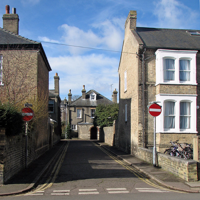
Image: © John Sutton Taken: 28 Feb 2017
Looking across Panton Street towards St Eligius Street on a sunny February morning. (The afternoon brought rain.)
Images are licensed for reuse under creativecommons.org/licenses/by-sa/2.0
Image Location
Latitude
52.196326
Longitude
0.124322