The Bridge, and the bridge at Coxlake
Introduction
The photograph on this page of The Bridge, and the bridge at Coxlake by Natasha Ceridwen de Chroustchoff as part of the Geograph project.
The Geograph project started in 2005 with the aim of publishing, organising and preserving representative images for every square kilometre of Great Britain, Ireland and the Isle of Man.

There are currently over 7.5m images from over 14,400 individuals and you can help contribute to the project by visiting https://www.geograph.org.uk
The Bridge, and the bridge at Coxlake
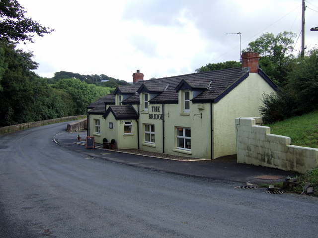
Image: © Natasha Ceridwen de Chroustchoff Taken: 18 Aug 2007
Old inn and old bridge (currently under repair) on the road between Narberth and Robeston Wathen. The watercourse is not named on the map but is likely to be a tributary of the Eastern Cleddau.
Images are licensed for reuse under creativecommons.org/licenses/by-sa/2.0
Image Location
Latitude
51.805447
Longitude
-4.767147