Cwmrhydyceirw
Introduction
The photograph on this page of Cwmrhydyceirw by Alan Richards as part of the Geograph project.
The Geograph project started in 2005 with the aim of publishing, organising and preserving representative images for every square kilometre of Great Britain, Ireland and the Isle of Man.

There are currently over 7.5m images from over 14,400 individuals and you can help contribute to the project by visiting https://www.geograph.org.uk
Cwmrhydyceirw
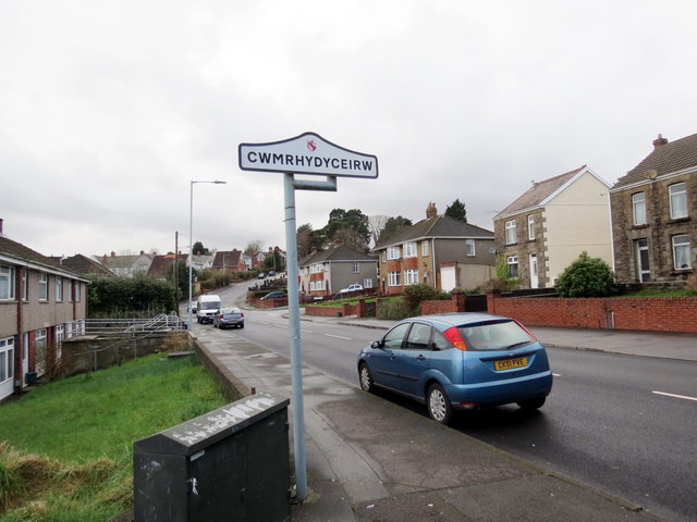
Image: © Alan Richards Taken: 27 Feb 2017
Maestref o Dreforys o'r enw Cwmrhydyceirw. Yn ystod diwygiad crefyddol y 19g fe newidiwyd yr enw gwreddiol 'Cwmrhydycwrw' gan y trigolion parchus i'r un presennol am nad oedd yr enw yn eu tyb nhw'n addas. Cwmrhydyceirw (trans. valley ford of stags) is a suburb of Morriston. Its original name 'Cwmrhydycwrw' (valley ford of beer) was changed to its present name during the religious revivals of the c19 when respected locals thought that the name was unsuitable.
Images are licensed for reuse under creativecommons.org/licenses/by-sa/2.0
Image Location
Latitude
51.677173
Longitude
-3.92193