Road junction and grass triangle
Introduction
The photograph on this page of Road junction and grass triangle by Michael Trolove as part of the Geograph project.
The Geograph project started in 2005 with the aim of publishing, organising and preserving representative images for every square kilometre of Great Britain, Ireland and the Isle of Man.

There are currently over 7.5m images from over 14,400 individuals and you can help contribute to the project by visiting https://www.geograph.org.uk
Road junction and grass triangle
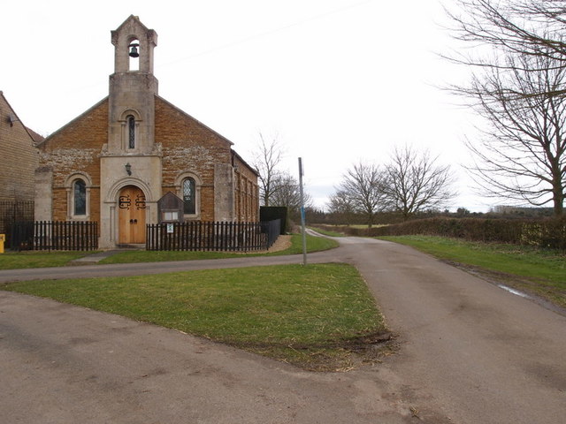
Image: © Michael Trolove Taken: 26 Feb 2017
Back lane, Sewstern. The dip in the road is because of Ironstone Quarrying between 1937 and 1948 when the road was closed and quarried and was known as Buckminster Quarry no 8, later to be reinstated. Reference - E Tonks, The Ironstone Quarries of the Midlands, Part 8, South Lincolnshire.
Images are licensed for reuse under creativecommons.org/licenses/by-sa/2.0
Image Location
Latitude
52.78439
Longitude
-0.682729