Quarried Landscape
Introduction
The photograph on this page of Quarried Landscape by Michael Trolove as part of the Geograph project.
The Geograph project started in 2005 with the aim of publishing, organising and preserving representative images for every square kilometre of Great Britain, Ireland and the Isle of Man.

There are currently over 7.5m images from over 14,400 individuals and you can help contribute to the project by visiting https://www.geograph.org.uk
Quarried Landscape
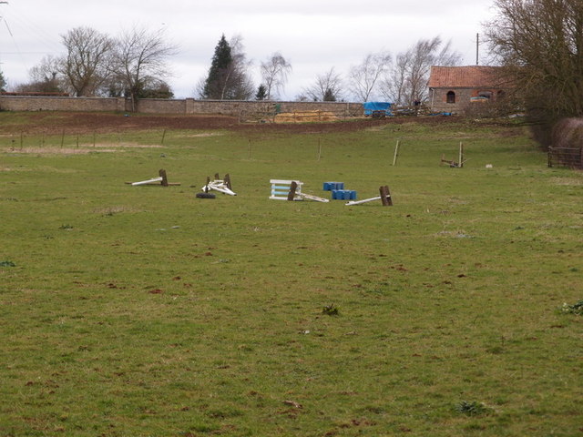
Image: © Michael Trolove Taken: 26 Feb 2017
Although looking like a standard pony paddock between 1937 and 1948 this area was quarry no8 in the Buckminster Ironstone Quarries scheme and a connecting railway would have lain in this field. See Image The cap stone on the distant wall denote the railway bridge that allows passage under Sewswtern Main Street.
Images are licensed for reuse under creativecommons.org/licenses/by-sa/2.0
Image Location
Latitude
52.786602
Longitude
-0.679548