Boscombe East: downhill on footpath J08
Introduction
The photograph on this page of Boscombe East: downhill on footpath J08 by Chris Downer as part of the Geograph project.
The Geograph project started in 2005 with the aim of publishing, organising and preserving representative images for every square kilometre of Great Britain, Ireland and the Isle of Man.

There are currently over 7.5m images from over 14,400 individuals and you can help contribute to the project by visiting https://www.geograph.org.uk
Boscombe East: downhill on footpath J08
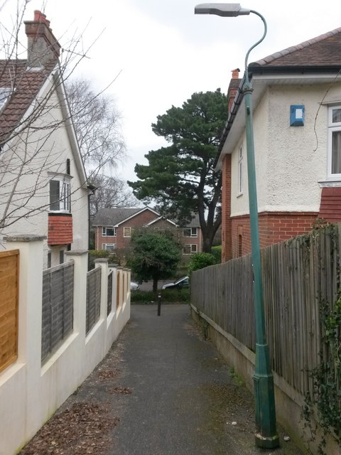
Image: © Chris Downer Taken: 25 Feb 2017
This public footpath leads quite steeply between two houses from the dead end of Lascelles Road onto Harewood Avenue, ahead of us. See Image for a view towards us from the bottom of the path, and Image for the uphill view behind us.
Images are licensed for reuse under creativecommons.org/licenses/by-sa/2.0
Image Location
Latitude
50.734318
Longitude
-1.821406