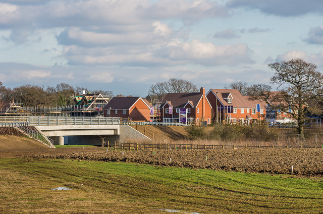
Westvale Park
Introduction
The photograph on this page of Westvale Park by Ian Capper as part of the Geograph project.
The Geograph project started in 2005 with the aim of publishing, organising and preserving representative images for every square kilometre of Great Britain, Ireland and the Isle of Man.
There are currently over 7.5m images from over 14,400 individuals and you can help contribute to the project by visiting https://www.geograph.org.uk

Image: © Ian Capper Taken: 17 Feb 2017
Major development on the northern outskirts of Horley, with the first stage involving 600 new houses, which is due to more than double in later stages. This photo show some of the first buildings close to completion, beyond a new bridge over the River Mole completed in 2016 giving access to the area from the A217.

