Llangynwyd Village Hall
Introduction
The photograph on this page of Llangynwyd Village Hall by Jaggery as part of the Geograph project.
The Geograph project started in 2005 with the aim of publishing, organising and preserving representative images for every square kilometre of Great Britain, Ireland and the Isle of Man.

There are currently over 7.5m images from over 14,400 individuals and you can help contribute to the project by visiting https://www.geograph.org.uk
Llangynwyd Village Hall
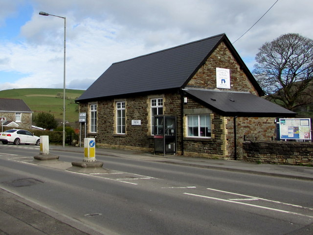
Image: © Jaggery Taken: 24 Feb 2017
The Bridgend Road side of the hall on the corner of Station Road. http://www.geograph.org.uk/photo/5257853 to an earlier photo and some details.
Images are licensed for reuse under creativecommons.org/licenses/by-sa/2.0
Image Location
Latitude
51.5881
Longitude
-3.634364