Stannington seen from Crookes
Introduction
The photograph on this page of Stannington seen from Crookes by Neil Theasby as part of the Geograph project.
The Geograph project started in 2005 with the aim of publishing, organising and preserving representative images for every square kilometre of Great Britain, Ireland and the Isle of Man.

There are currently over 7.5m images from over 14,400 individuals and you can help contribute to the project by visiting https://www.geograph.org.uk
Stannington seen from Crookes
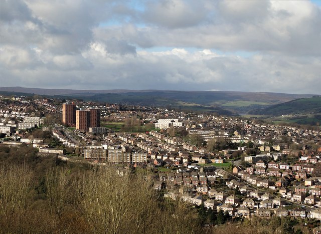
Image: © Neil Theasby Taken: 24 Feb 2017
The viewpoint was Woodfield Road above Bole Hill Park. The three housing blocks to the left are Deer Park Flats.
Images are licensed for reuse under creativecommons.org/licenses/by-sa/2.0
Image Location
Latitude
53.393749
Longitude
-1.52763