Broad Street play area
Introduction
The photograph on this page of Broad Street play area by Rose and Trev Clough as part of the Geograph project.
The Geograph project started in 2005 with the aim of publishing, organising and preserving representative images for every square kilometre of Great Britain, Ireland and the Isle of Man.

There are currently over 7.5m images from over 14,400 individuals and you can help contribute to the project by visiting https://www.geograph.org.uk
Broad Street play area
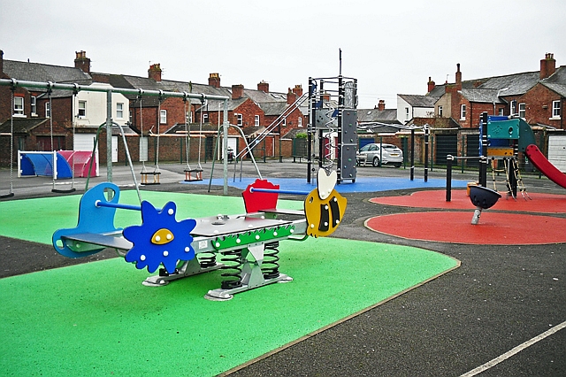
Image: © Rose and Trev Clough Taken: 18 Jan 2017
Accessed via lanes off Petteril and River Streets. The playground looks well kept, with plenty of different activities. The City Council rationalised play areas in 2014 - compare Image .
Images are licensed for reuse under creativecommons.org/licenses/by-sa/2.0
Image Location
Latitude
54.892891
Longitude
-2.922174