Swaithe House and Surrounds
Introduction
The photograph on this page of Swaithe House and Surrounds by Jonathan Clitheroe as part of the Geograph project.
The Geograph project started in 2005 with the aim of publishing, organising and preserving representative images for every square kilometre of Great Britain, Ireland and the Isle of Man.

There are currently over 7.5m images from over 14,400 individuals and you can help contribute to the project by visiting https://www.geograph.org.uk
Swaithe House and Surrounds
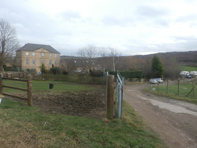
Image: © Jonathan Clitheroe Taken: 21 Feb 2017
17th Century Grade II* listed farmhouse which stands close to the railway line between Barnsley and Wombwell. There are several other buildings clustered around the house in addition to a fishing lake which is just out of picture on the right.
Images are licensed for reuse under creativecommons.org/licenses/by-sa/2.0
Image Location
Latitude
53.532425
Longitude
-1.440245