Footpath along the line of the former Merton Park to Tooting railway line
Introduction
The photograph on this page of Footpath along the line of the former Merton Park to Tooting railway line by Marathon as part of the Geograph project.
The Geograph project started in 2005 with the aim of publishing, organising and preserving representative images for every square kilometre of Great Britain, Ireland and the Isle of Man.

There are currently over 7.5m images from over 14,400 individuals and you can help contribute to the project by visiting https://www.geograph.org.uk
Footpath along the line of the former Merton Park to Tooting railway line
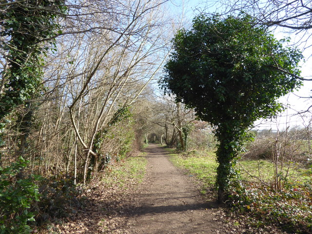
Image: © Marathon Taken: 20 Feb 2017
The Wimbledon to West Croydon Line was opened in 1855. In 1868, the Tooting, Wimbledon & Sutton line was opened, and a branch from Tooting via Merton Abbey to the Wimbledon to West Croydon line at Merton Park was also opened. Initially a station was only provided on the Tooting line called Lower Merton which opened on 1st October 1868. This had a stationmaster's house incorporating a booking office on the down platform. This building still exists, but is now a private house called Station House. A new platform was opened on the Mitcham line on 1st November 1870 and the station which then served both lines was called Merton Park from 1st September 1887. The last passenger train on the Tooting to Merton Park line ran on 2nd March 1929, and after that only steam freight trains and the occasional excursion used the line. The junction at the Tooting end was severed in 1934 so that the line was worked as a long siding from Merton Park. All traffic finally ceased in May 1975 and the tracks between Merton Park and Tooting were removed soon afterwards. Passengers for Merton Park station on the Wimbledon to West Croydon line then had to cross two disused platforms until that line closed in 1997, to be replaced from May 2000 by Tramlink. A small section of the down Tooting branch platform survives but whereas ten years ago this could easily be seen it is now almost unrecognisable through brambles. Parts of the old trackbed of the Tooting branch have been preserved. This is just to the east of the old station in the direction of Tooting and is now a nature reserve called Merton Park Green Walks. Another section of the old line has been preserved in Collier's Wood and this is called Myrna Close Valley - see http://www.geograph.org.uk/photo/2958254 A very full history, with photographs, of Merton Park station and its associated railway lines can be seen at http://www.disused-stations.org.uk/m/merton_park/index.shtml
Images are licensed for reuse under creativecommons.org/licenses/by-sa/2.0
Image Location


Leaflet Map data © OpenStreetMap
Latitude
51.412254
Longitude
-0.196382