Southbourne: Southbourne Evangelical Church
Introduction
The photograph on this page of Southbourne: Southbourne Evangelical Church by Chris Downer as part of the Geograph project.
The Geograph project started in 2005 with the aim of publishing, organising and preserving representative images for every square kilometre of Great Britain, Ireland and the Isle of Man.

There are currently over 7.5m images from over 14,400 individuals and you can help contribute to the project by visiting https://www.geograph.org.uk
Southbourne: Southbourne Evangelical Church
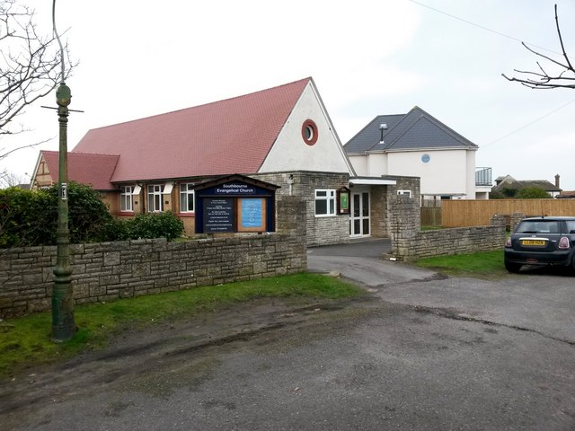
Image: © Chris Downer Taken: 11 Feb 2017
A small church on Admiralty Road. Admiralty Road is a public right of way, number I07, designated as a Byway Open to All Traffic (or B.O.A.T.). This previously applied to the whole length of the road, but the road has been truncated now and the designation of the right of way truncated even more. See Image for the view along the road from behind, and Image for the next view along the road ahead, with links to further photos along the extant and defunct routes.
Images are licensed for reuse under creativecommons.org/licenses/by-sa/2.0
Image Location
Latitude
50.720686
Longitude
-1.789868