Winton: bridleway N03 from Firs Glen Road
Introduction
The photograph on this page of Winton: bridleway N03 from Firs Glen Road by Chris Downer as part of the Geograph project.
The Geograph project started in 2005 with the aim of publishing, organising and preserving representative images for every square kilometre of Great Britain, Ireland and the Isle of Man.

There are currently over 7.5m images from over 14,400 individuals and you can help contribute to the project by visiting https://www.geograph.org.uk
Winton: bridleway N03 from Firs Glen Road
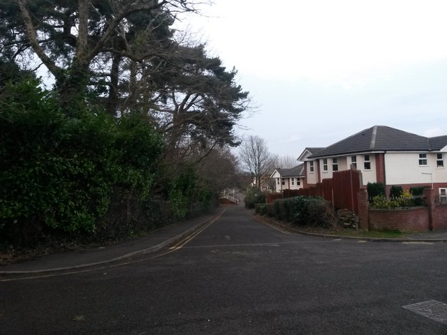
Image: © Chris Downer Taken: 16 Feb 2017
Looking along this service road, linking Firs Glen Road (right) and Glenmoor Road (the next parallel road), which when built would have met a gravel or grass track, the original bridleway of Boundary Road. See the view from the northern end of the bridleway - Image for more discussion on the history of the route. Meanwhile, see Image for the view along the course of the bridleway behind us, with links to further photos along the 570m route.
Images are licensed for reuse under creativecommons.org/licenses/by-sa/2.0
Image Location


Leaflet Map data © OpenStreetMap
Latitude
50.742856
Longitude
-1.89011