Ensbury Park: footpath U34 to Beswick Avenue
Introduction
The photograph on this page of Ensbury Park: footpath U34 to Beswick Avenue by Chris Downer as part of the Geograph project.
The Geograph project started in 2005 with the aim of publishing, organising and preserving representative images for every square kilometre of Great Britain, Ireland and the Isle of Man.

There are currently over 7.5m images from over 14,400 individuals and you can help contribute to the project by visiting https://www.geograph.org.uk
Ensbury Park: footpath U34 to Beswick Avenue
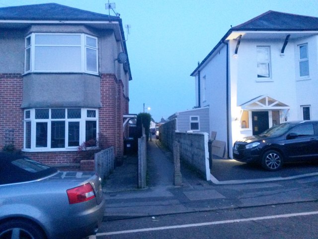
Image: © Chris Downer Taken: 13 Feb 2017
Dusk is virtually here on this drab February evening as we look along this small cut-through to the dead end of Beswick Avenue, which does a right-angled turn to almost meet us here on Draycott Road. See Image for the view along the path from the other end.
Images are licensed for reuse under creativecommons.org/licenses/by-sa/2.0
Image Location
Latitude
50.752837
Longitude
-1.88952