Ploughed Field Near Adber
Introduction
The photograph on this page of Ploughed Field Near Adber by Nigel Mykura as part of the Geograph project.
The Geograph project started in 2005 with the aim of publishing, organising and preserving representative images for every square kilometre of Great Britain, Ireland and the Isle of Man.

There are currently over 7.5m images from over 14,400 individuals and you can help contribute to the project by visiting https://www.geograph.org.uk
Ploughed Field Near Adber
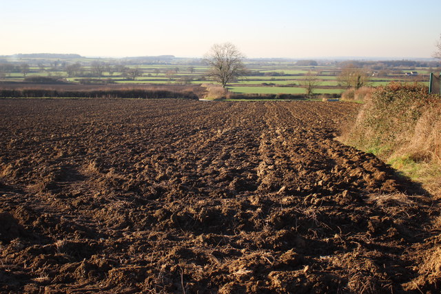
Image: © Nigel Mykura Taken: 19 Jan 2017
View north west into the Blackmore vale from a track between the village houses on the main road through the village. the Yeovil to Castle cary railway line runs across the middle distance of the image.
Images are licensed for reuse under creativecommons.org/licenses/by-sa/2.0
Image Location
Latitude
50.980229
Longitude
-2.577289