Kinder Road
Introduction
The photograph on this page of Kinder Road by Stephen McKay as part of the Geograph project.
The Geograph project started in 2005 with the aim of publishing, organising and preserving representative images for every square kilometre of Great Britain, Ireland and the Isle of Man.

There are currently over 7.5m images from over 14,400 individuals and you can help contribute to the project by visiting https://www.geograph.org.uk
Kinder Road
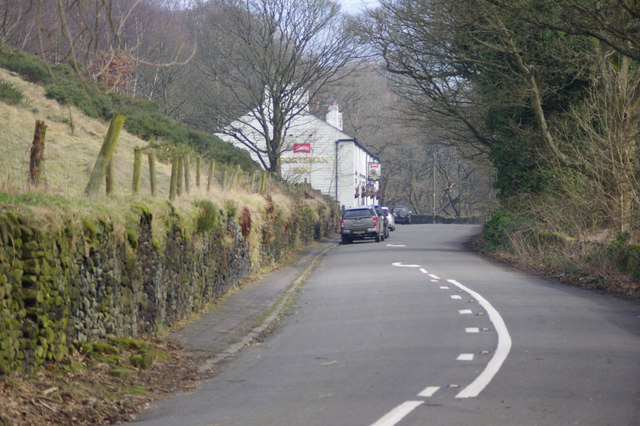
Image: © Stephen McKay Taken: 14 Feb 2017
Kinder Road runs west of Hayfield village towards Kinder Reservoir and Kinder Scout; ahead in this view is the Sportsman Inn, a Thwaites house.
Images are licensed for reuse under creativecommons.org/licenses/by-sa/2.0
Image Location
Latitude
53.377317
Longitude
-1.934873