White Hart, Bridgend Road, Maesteg
Introduction
The photograph on this page of White Hart, Bridgend Road, Maesteg by Jaggery as part of the Geograph project.
The Geograph project started in 2005 with the aim of publishing, organising and preserving representative images for every square kilometre of Great Britain, Ireland and the Isle of Man.

There are currently over 7.5m images from over 14,400 individuals and you can help contribute to the project by visiting https://www.geograph.org.uk
White Hart, Bridgend Road, Maesteg
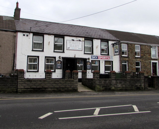
Image: © Jaggery Taken: 17 Feb 2017
Pub at 42 Bridgend Road. http://www.geograph.org.uk/photo/5286584 to the name sign.
Images are licensed for reuse under creativecommons.org/licenses/by-sa/2.0
Image Location
Latitude
51.60479
Longitude
-3.643339