The Dramway Path
Introduction
The photograph on this page of The Dramway Path by Neil Owen as part of the Geograph project.
The Geograph project started in 2005 with the aim of publishing, organising and preserving representative images for every square kilometre of Great Britain, Ireland and the Isle of Man.

There are currently over 7.5m images from over 14,400 individuals and you can help contribute to the project by visiting https://www.geograph.org.uk
The Dramway Path
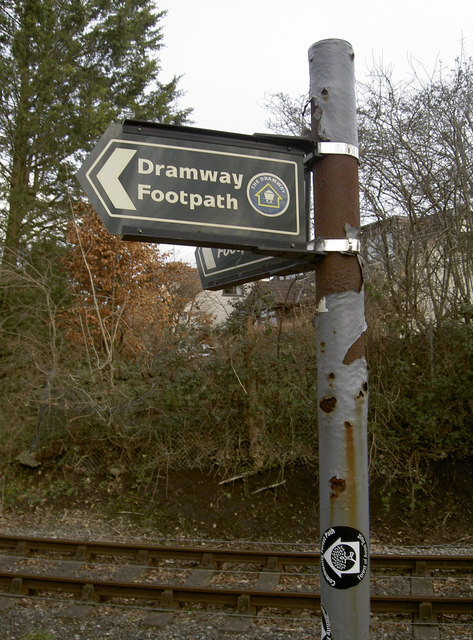
Image: © Neil Owen Taken: 16 Feb 2017
The Dramway is the local name for the Avon and Gloucestershire Railway that carried coal from the Coalpit Heath collieries. It opened in the late 1830s as a horse-drawn line, but was one of the country's last as steam had made its appearance and would soon overtake the horse. The line was primarily a gravity-powered tramway for most of its length, with empty wagons being pulled back up by full ones. The line closed in the late 1860s. The Dramway Path is now a nine mile (15km) linear walk that follows sections of the route. The coalfields of northeast Bristol were linked by this route along the Siston Brook to wharf on the River Avon.
Images are licensed for reuse under creativecommons.org/licenses/by-sa/2.0
Image Location
Latitude
51.438281
Longitude
-2.477592