Siston Brook
Introduction
The photograph on this page of Siston Brook by Neil Owen as part of the Geograph project.
The Geograph project started in 2005 with the aim of publishing, organising and preserving representative images for every square kilometre of Great Britain, Ireland and the Isle of Man.

There are currently over 7.5m images from over 14,400 individuals and you can help contribute to the project by visiting https://www.geograph.org.uk
Siston Brook
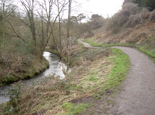
Image: © Neil Owen Taken: 16 Feb 2017
The gentle stream runs down to Willsbridge Mill and then meets the Avon at Londonderry Farm.
Images are licensed for reuse under creativecommons.org/licenses/by-sa/2.0
Image Location
Latitude
51.438191
Longitude
-2.477591