Signage at Trafford Bar
Introduction
The photograph on this page of Signage at Trafford Bar by Gerald England as part of the Geograph project.
The Geograph project started in 2005 with the aim of publishing, organising and preserving representative images for every square kilometre of Great Britain, Ireland and the Isle of Man.

There are currently over 7.5m images from over 14,400 individuals and you can help contribute to the project by visiting https://www.geograph.org.uk
Signage at Trafford Bar
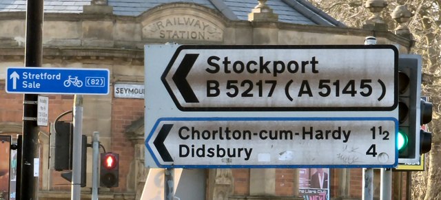
Image: © Gerald England Taken: 13 Feb 2017
Various signage at Trafford Bar including "Railway Station" etched in stone on the former station on Seymour Street now a tram stop, direction signs for the B5217 which at Chorlton-cum-Hardy becomes the A5145 to Didsbury and Stockport, and a cycle route sign pointing to Stretford and Sale.
Images are licensed for reuse under creativecommons.org/licenses/by-sa/2.0
Image Location
Latitude
53.461955
Longitude
-2.276794