New housing near the Ordnance Depot, Lower Upnor
Introduction
The photograph on this page of New housing near the Ordnance Depot, Lower Upnor by David Anstiss as part of the Geograph project.
The Geograph project started in 2005 with the aim of publishing, organising and preserving representative images for every square kilometre of Great Britain, Ireland and the Isle of Man.

There are currently over 7.5m images from over 14,400 individuals and you can help contribute to the project by visiting https://www.geograph.org.uk
New housing near the Ordnance Depot, Lower Upnor
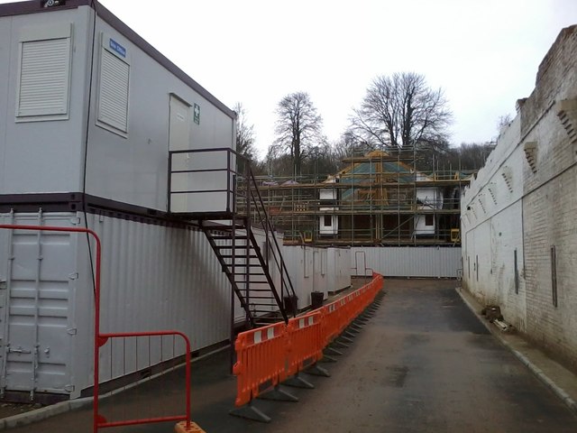
Image: © David Anstiss Taken: 12 Feb 2017
The wall on the right is part of Image The timber frame is one of 4 large houses being built on the former brownfield site of a former Naval Ordnance Depot beside the River Medway. The cabins on the left are site huts for the workers.
Images are licensed for reuse under creativecommons.org/licenses/by-sa/2.0
Image Location
Latitude
51.408328
Longitude
0.527046