Eastgate and Southgate, Honley
Introduction
The photograph on this page of Eastgate and Southgate, Honley by Humphrey Bolton as part of the Geograph project.
The Geograph project started in 2005 with the aim of publishing, organising and preserving representative images for every square kilometre of Great Britain, Ireland and the Isle of Man.

There are currently over 7.5m images from over 14,400 individuals and you can help contribute to the project by visiting https://www.geograph.org.uk
Eastgate and Southgate, Honley
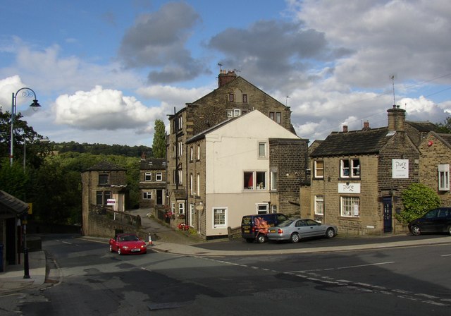
Image: © Humphrey Bolton Taken: 16 Aug 2007
Eastgate drops down to the bridge over the River Holme, whilst Southgate on the right is the old road to Holmfirth, via Far End Lane, Banks Road and Upper Hagg.
Images are licensed for reuse under creativecommons.org/licenses/by-sa/2.0
Image Location
Latitude
53.603484
Longitude
-1.792928