Passing The Pastures
Introduction
The photograph on this page of Passing The Pastures by Richard Webb as part of the Geograph project.
The Geograph project started in 2005 with the aim of publishing, organising and preserving representative images for every square kilometre of Great Britain, Ireland and the Isle of Man.

There are currently over 7.5m images from over 14,400 individuals and you can help contribute to the project by visiting https://www.geograph.org.uk
Passing The Pastures
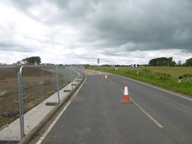
Image: © Richard Webb Taken: 25 Jun 2016
The Pastures (typical name) is a new housing development on the northern edge of Stewarton. The road to Dunlop is single track, controlled by temporary lights - not simply closed for once.
Images are licensed for reuse under creativecommons.org/licenses/by-sa/2.0
Image Location
Latitude
55.686931
Longitude
-4.521706