From St Andrew Street to St Thomas Street, Wells
Introduction
The photograph on this page of From St Andrew Street to St Thomas Street, Wells by Jaggery as part of the Geograph project.
The Geograph project started in 2005 with the aim of publishing, organising and preserving representative images for every square kilometre of Great Britain, Ireland and the Isle of Man.

There are currently over 7.5m images from over 14,400 individuals and you can help contribute to the project by visiting https://www.geograph.org.uk
From St Andrew Street to St Thomas Street, Wells
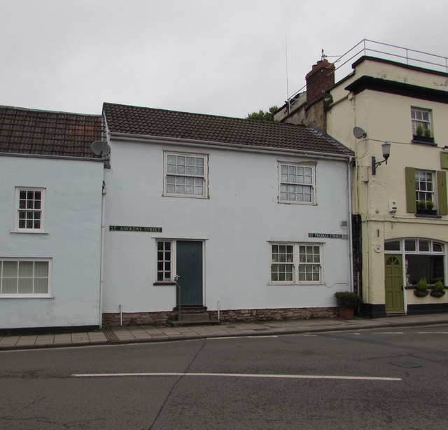
Image: © Jaggery Taken: 27 Sep 2016
Two different street names are on the house facing Tor Street. The name sign on the left showing ST ANDREWS STREET appears to be wrong because the local council references to this street show St Andrew Street. The Fountain Inn http://www.geograph.org.uk/photo/5283063 is on the right.
Images are licensed for reuse under creativecommons.org/licenses/by-sa/2.0
Image Location
Latitude
51.211442
Longitude
-2.641736