St Germans Quay
Introduction
The photograph on this page of St Germans Quay by Stephen McKay as part of the Geograph project.
The Geograph project started in 2005 with the aim of publishing, organising and preserving representative images for every square kilometre of Great Britain, Ireland and the Isle of Man.

There are currently over 7.5m images from over 14,400 individuals and you can help contribute to the project by visiting https://www.geograph.org.uk
St Germans Quay
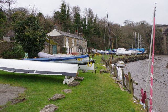
Image: © Stephen McKay Taken: 11 Feb 2017
Originally used for the loading of quarried stone, the quay has been used by the Quay Sailing Club since the early 1970s.
Images are licensed for reuse under creativecommons.org/licenses/by-sa/2.0
Image Location


Leaflet Map data © OpenStreetMap
Latitude
50.391228
Longitude
-4.303191