Foundation stones, former Salvation Army citadel, Grantham
Introduction
The photograph on this page of Foundation stones, former Salvation Army citadel, Grantham by Alan Murray-Rust as part of the Geograph project.
The Geograph project started in 2005 with the aim of publishing, organising and preserving representative images for every square kilometre of Great Britain, Ireland and the Isle of Man.

There are currently over 7.5m images from over 14,400 individuals and you can help contribute to the project by visiting https://www.geograph.org.uk
Foundation stones, former Salvation Army citadel, Grantham
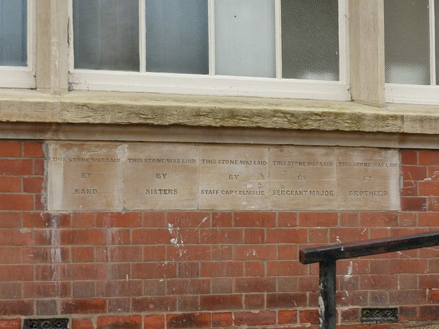
Image: © Alan Murray-Rust Taken: 9 Feb 2017
Providing a concise description of the structure of the organisation. See http://www.geograph.org.uk/photo/5282767 for location.
Images are licensed for reuse under creativecommons.org/licenses/by-sa/2.0
Image Location
Latitude
52.90868
Longitude
-0.63911