Farmland around Shilstone
Introduction
The photograph on this page of Farmland around Shilstone by Derek Harper as part of the Geograph project.
The Geograph project started in 2005 with the aim of publishing, organising and preserving representative images for every square kilometre of Great Britain, Ireland and the Isle of Man.

There are currently over 7.5m images from over 14,400 individuals and you can help contribute to the project by visiting https://www.geograph.org.uk
Farmland around Shilstone
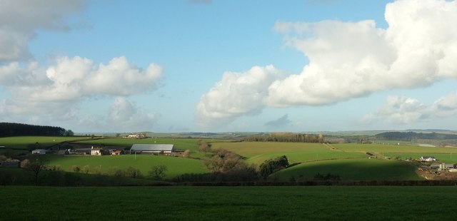
Image: © Derek Harper Taken: 8 Feb 2017
Looking more to the left from where Image] was taken, with part of South Newton on the right, and Shilstone (in Image - see Image]) on the left across a small valley. Behind it are the semis shown in Image]; on the left is The Wilderness.
Images are licensed for reuse under creativecommons.org/licenses/by-sa/2.0
Image Location
Latitude
51.003291
Longitude
-3.914037