Former stable block to Vine House
Introduction
The photograph on this page of Former stable block to Vine House by Alan Murray-Rust as part of the Geograph project.
The Geograph project started in 2005 with the aim of publishing, organising and preserving representative images for every square kilometre of Great Britain, Ireland and the Isle of Man.

There are currently over 7.5m images from over 14,400 individuals and you can help contribute to the project by visiting https://www.geograph.org.uk
Former stable block to Vine House
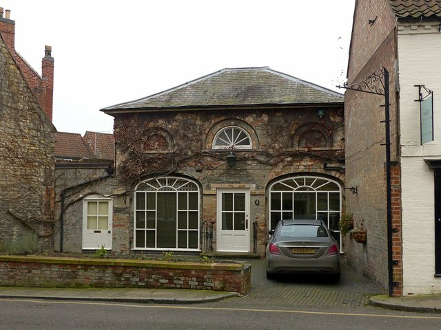
Image: © Alan Murray-Rust Taken: 9 Feb 2017
An attractive little late 18th century building opposite Vine House http://www.geograph.org.uk/photo/5281542 now converted to a dwelling. Listed Grade II.
Images are licensed for reuse under creativecommons.org/licenses/by-sa/2.0
Image Location
Latitude
52.913753
Longitude
-0.64252