St Michael's Church
Introduction
The photograph on this page of St Michael's Church by Anne Burgess as part of the Geograph project.
The Geograph project started in 2005 with the aim of publishing, organising and preserving representative images for every square kilometre of Great Britain, Ireland and the Isle of Man.

There are currently over 7.5m images from over 14,400 individuals and you can help contribute to the project by visiting https://www.geograph.org.uk
St Michael's Church
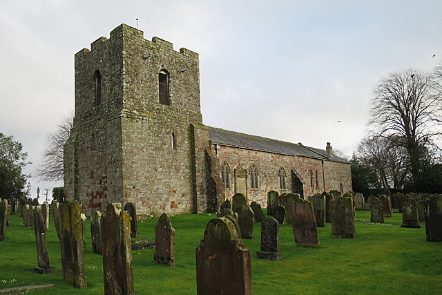
Image: © Anne Burgess Taken: 7 Feb 2017
The church is thought to date from the 12th century, and is built of stones from Hadrian's Wall. It had two towers, but the one at the east end was lowered and converted to a vestry.
Images are licensed for reuse under creativecommons.org/licenses/by-sa/2.0
Image Location
Latitude
54.922056
Longitude
-3.049223