Lane up the Mole valley
Introduction
The photograph on this page of Lane up the Mole valley by Derek Harper as part of the Geograph project.
The Geograph project started in 2005 with the aim of publishing, organising and preserving representative images for every square kilometre of Great Britain, Ireland and the Isle of Man.

There are currently over 7.5m images from over 14,400 individuals and you can help contribute to the project by visiting https://www.geograph.org.uk
Lane up the Mole valley
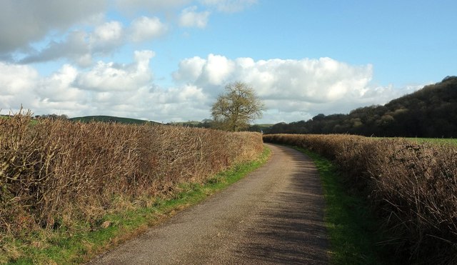
Image: © Derek Harper Taken: 8 Feb 2017
Heading towards George Nympton. The lane has just rounded a double bend.
Images are licensed for reuse under creativecommons.org/licenses/by-sa/2.0
Image Location


Leaflet Map data © OpenStreetMap
Latitude
50.99096
Longitude
-3.881467