A548 Prestatyn Road, Prestatyn
Introduction
The photograph on this page of A548 Prestatyn Road, Prestatyn by Jaggery as part of the Geograph project.
The Geograph project started in 2005 with the aim of publishing, organising and preserving representative images for every square kilometre of Great Britain, Ireland and the Isle of Man.

There are currently over 7.5m images from over 14,400 individuals and you can help contribute to the project by visiting https://www.geograph.org.uk
A548 Prestatyn Road, Prestatyn
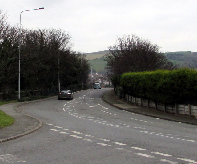
Image: © Jaggery Taken: 9 Feb 2017
Viewed from the Marine Road East junction, were the A548 Marine Road becomes the A548 Prestatyn Road ahead. A nearby sign pointing this way shows Flint 14 (miles).
Images are licensed for reuse under creativecommons.org/licenses/by-sa/2.0
Image Location
Latitude
53.339664
Longitude
-3.397623