Southbourne: footpath I25 from Harbour Road
Introduction
The photograph on this page of Southbourne: footpath I25 from Harbour Road by Chris Downer as part of the Geograph project.
The Geograph project started in 2005 with the aim of publishing, organising and preserving representative images for every square kilometre of Great Britain, Ireland and the Isle of Man.

There are currently over 7.5m images from over 14,400 individuals and you can help contribute to the project by visiting https://www.geograph.org.uk
Southbourne: footpath I25 from Harbour Road
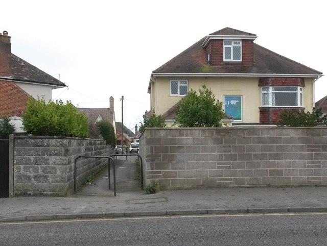
Image: © Chris Downer Taken: 11 Feb 2017
This short public footpath leads to the dead end of Solent Road. The house alongside, of which we are looking at the back as it is on Solent Road, has a nice image of Old Harry Rocks on one of the windows, depicting a polar bear in the white cliffs alongside the two sea stacks. See Image for the view of the path from the other end.
Images are licensed for reuse under creativecommons.org/licenses/by-sa/2.0
Image Location
Latitude
50.721211
Longitude
-1.781932