Farmland at Dodworth Botton
Introduction
The photograph on this page of Farmland at Dodworth Botton by Jonathan Clitheroe as part of the Geograph project.
The Geograph project started in 2005 with the aim of publishing, organising and preserving representative images for every square kilometre of Great Britain, Ireland and the Isle of Man.

There are currently over 7.5m images from over 14,400 individuals and you can help contribute to the project by visiting https://www.geograph.org.uk
Farmland at Dodworth Botton
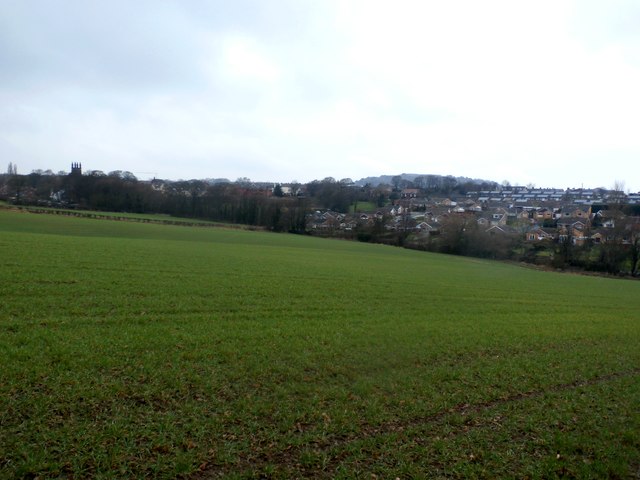
Image: © Jonathan Clitheroe Taken: 10 Feb 2017
Looking towards the village on a cold and sleety February afternoon. The Church of St John the Baptist can be seen on the left horizon.
Images are licensed for reuse under creativecommons.org/licenses/by-sa/2.0
Image Location
Latitude
53.53837
Longitude
-1.526324