Port Carlisle
Introduction
The photograph on this page of Port Carlisle by Anne Burgess as part of the Geograph project.
The Geograph project started in 2005 with the aim of publishing, organising and preserving representative images for every square kilometre of Great Britain, Ireland and the Isle of Man.

There are currently over 7.5m images from over 14,400 individuals and you can help contribute to the project by visiting https://www.geograph.org.uk
Port Carlisle
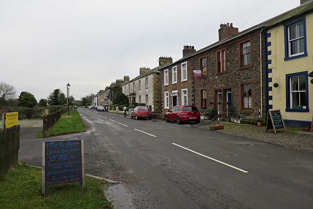
Image: © Anne Burgess Taken: 6 Feb 2017
Port Carlisle consists mainly of a single street of Georgian houses. The village was built in 1819 as a port at the end of a canal intended as a convenient trading access between Carlisle and the Solway Firth, but it enjoyed only a brief heyday before it was eclipsed by the coming of the railways. The sign announces the impending opening of a new tea room.
Images are licensed for reuse under creativecommons.org/licenses/by-sa/2.0
Image Location
Latitude
54.947929
Longitude
-3.186979